
In the community
Located on Oakville’s northernmost border, Ward 7 was historically dominated by farmland. Now it is made up of several of the town’s fastest-growing areas. Key growth areas include the Neyagawa Urban Core, Trafalgar Urban Core, and the upper portion of Dundas Urban Core. It also includes the Hospital District which features a variety of healthcare facilities alongside the new Oakville Trafalgar Memorial Hospital.
Ward 7 makes up most of the town land north of Dundas Street with Burlington on its western border, Eighth Line to the east, and Milton to the north. A wide range of land uses can be found in the ward including employment, commercial, retail, offices, new medium-to high-density residential areas, recreational and green spaces, as well as some remaining agricultural land.
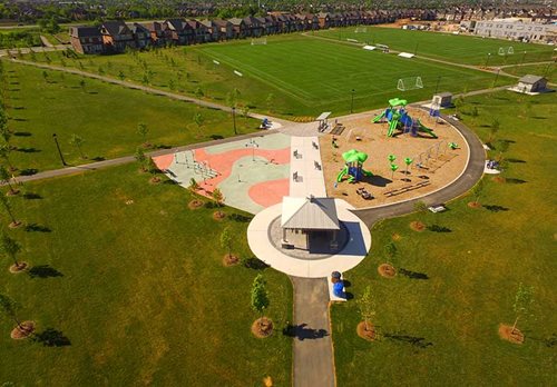
There is no shortage of opportunities to get active in Ward 7. Head to Palermo Park for a game of baseball, explore Sixteen Mile Creek and Neyagawa Woods or visit the Sixteen Mile Sports Complex and soon-to-be-completed cricket pitch.
Located in the eastern portion of the ward, Trafalgar Road was historically an important transportation route and continues to serve as a significant entrance to Oakville and a physical link within the town.
The Town of Oakville was founded on the treaty lands and traditional territory of the Mississaugas of the Credit First Nation. Ward 7 sits on Treaty 14 land which covers the majority of Oakville and beyond. This land was ceded to the crown in 1806 as part of the Head of the Lake Purchase which included land from Mississauga to Burlington.


